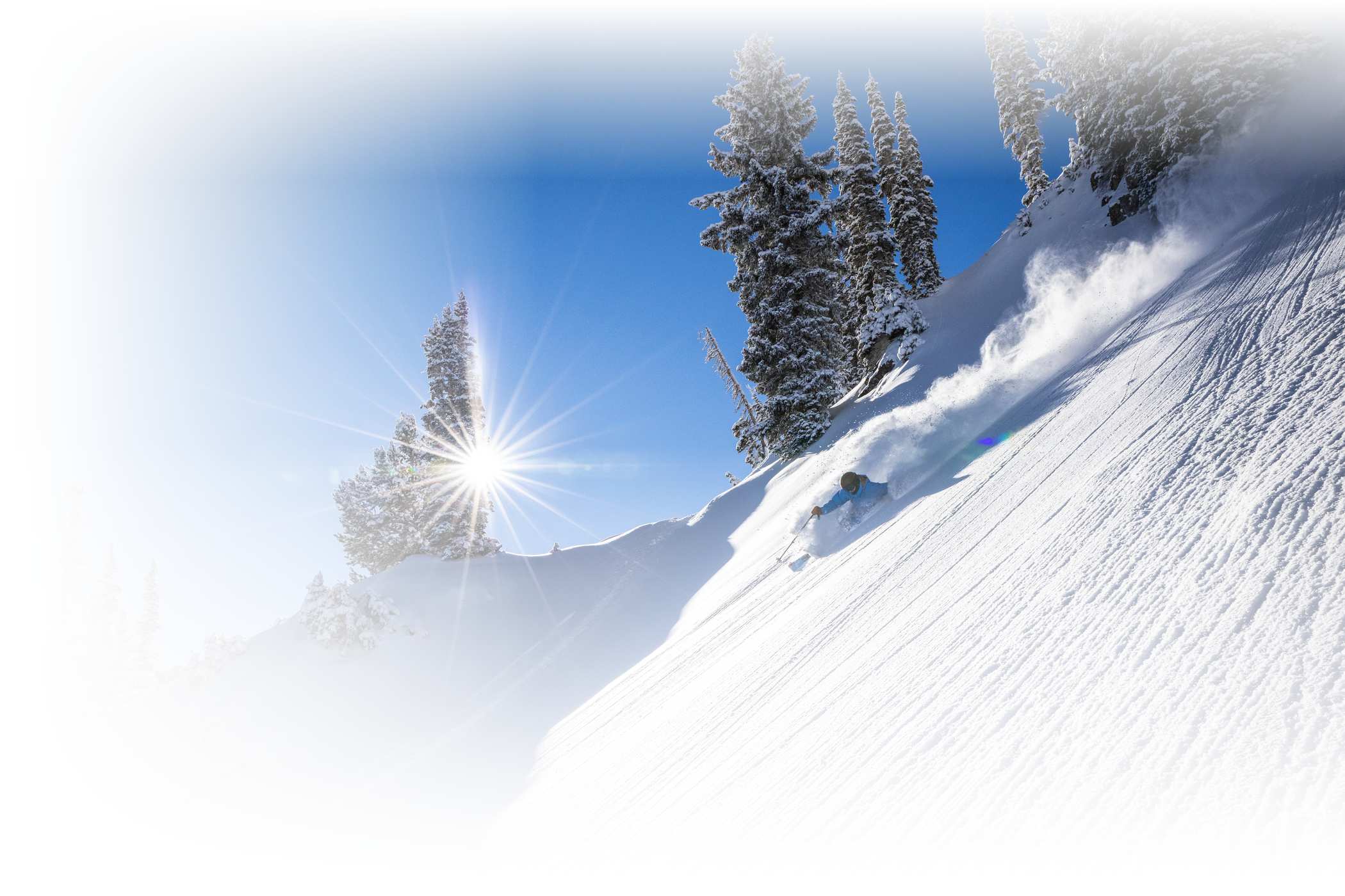
The Holiday skiing forecast looks bright.
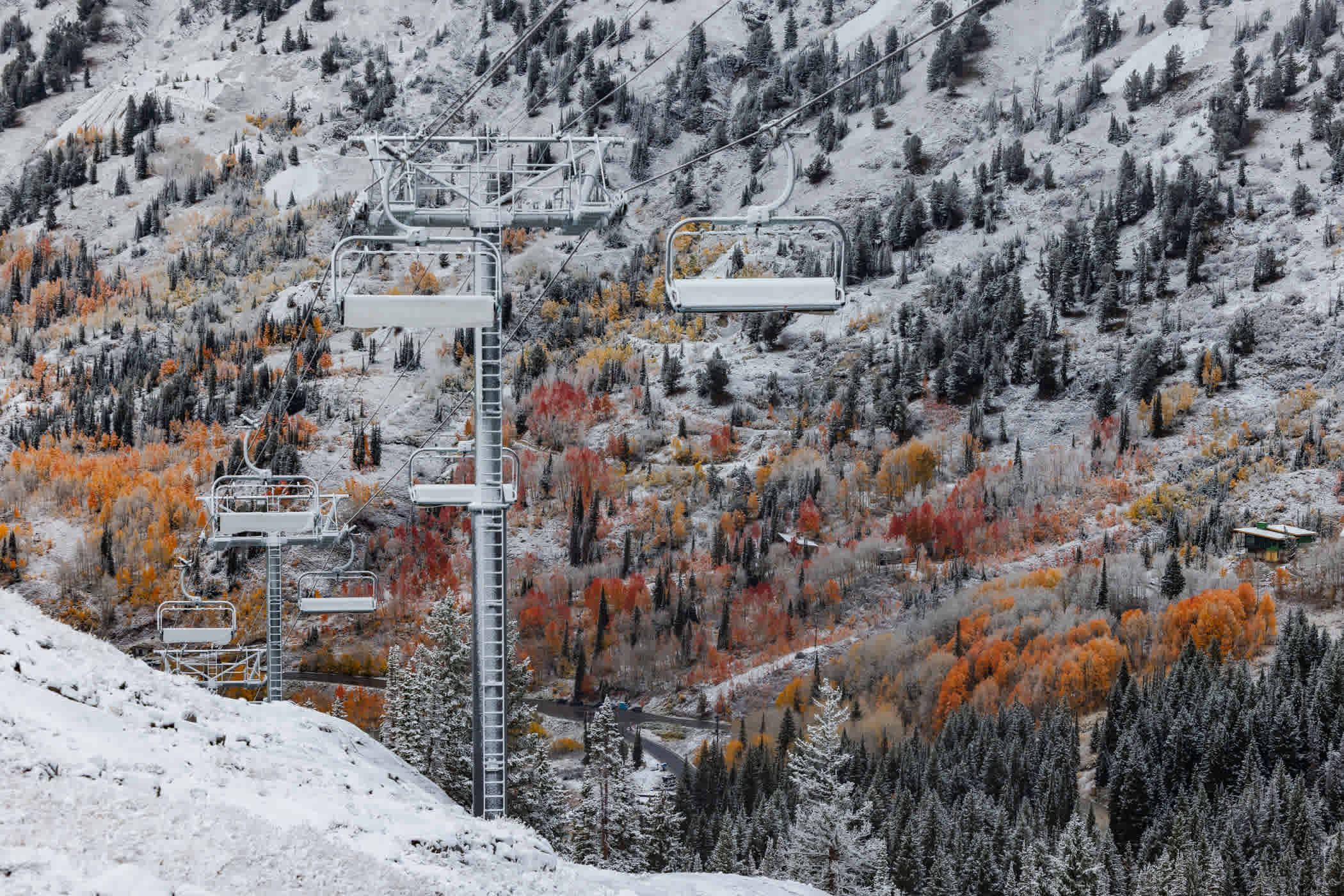
It’s no secret that winter in the West is off to a peculiar start. A wet and wild October gave way to a meh and mild November as temperatures warmed and storms fizzled en route to the Wasatch. Following one of the driest Novembers on record, the first storm of December was exactly what we needed to jumpstart the season. Almost 20 inches of dense, base-building snow fell at Alta Ski Area and our crews went to work grooming the corridors, setting up ropelines, making snow around the base areas and firing up the lifts. Alta’s 88th season started on December 7th, with top-to-bottom skiing on Collins and Sunnyside lifts.
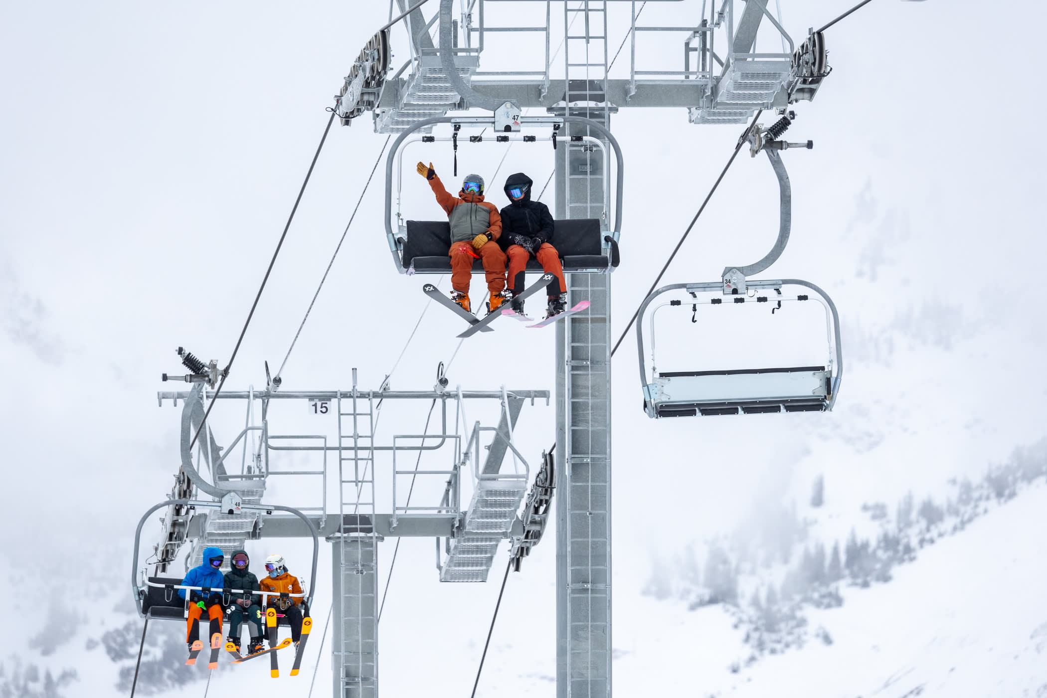
Alta Ski Area has opened all five lifts and 80-plus runs.
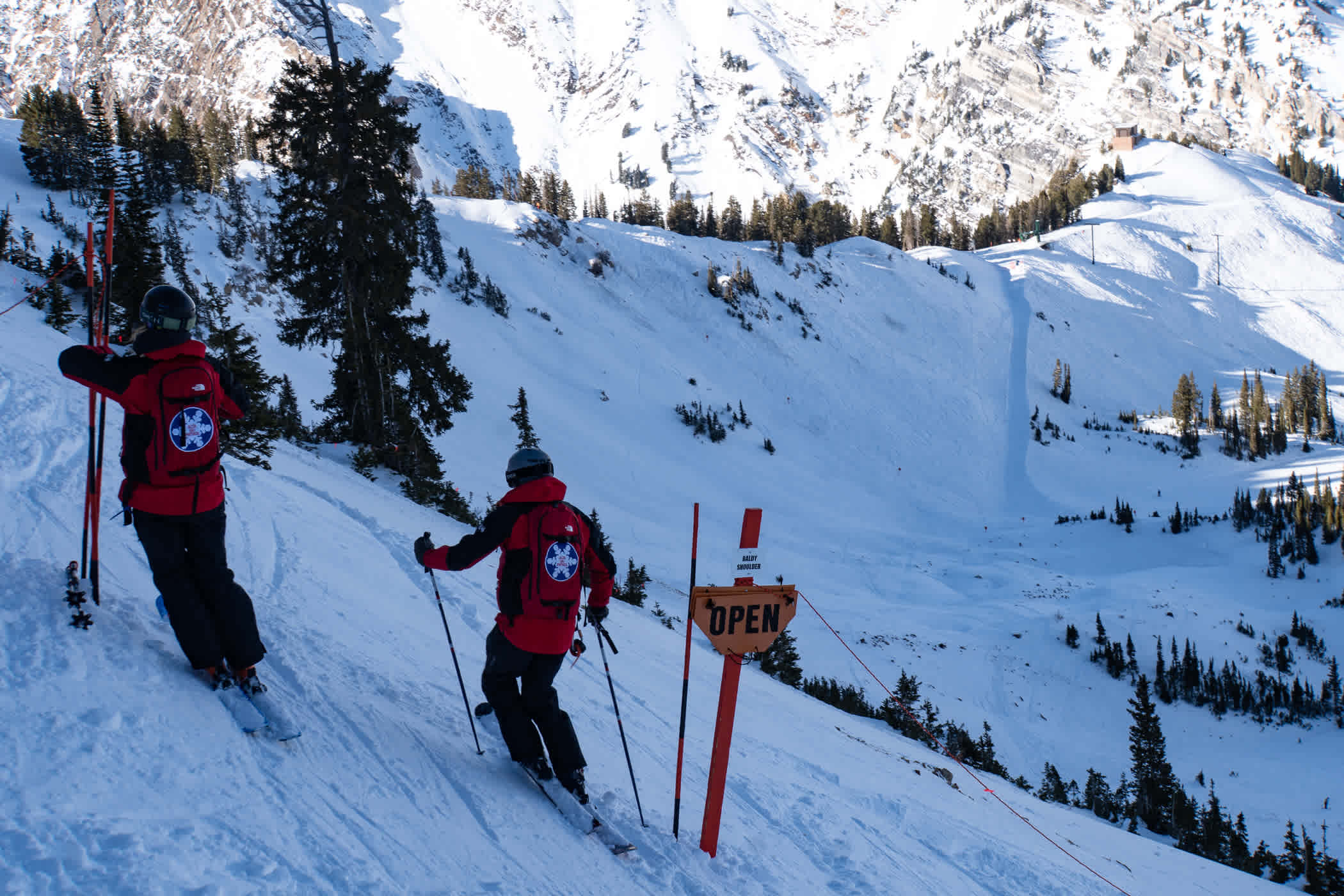
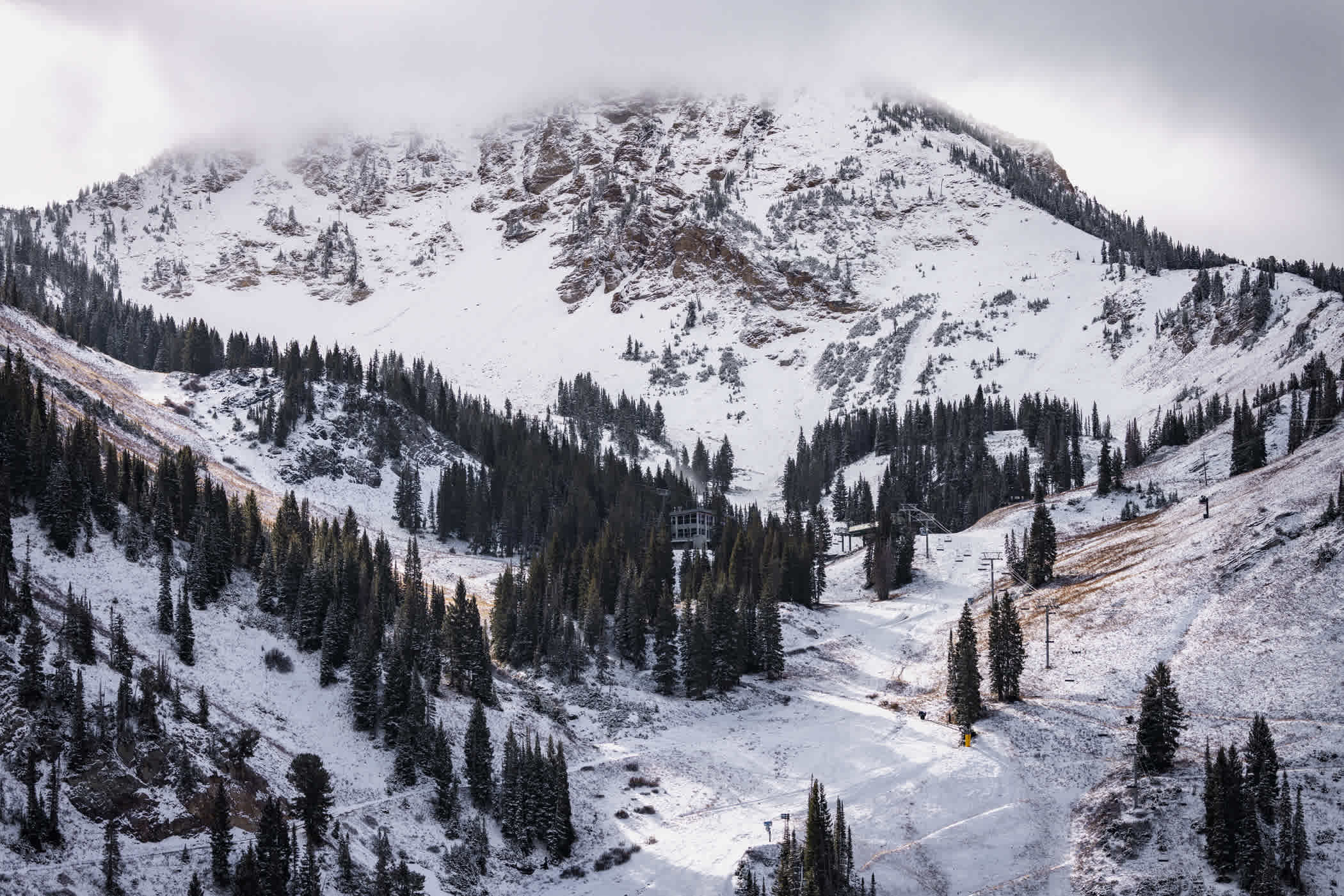
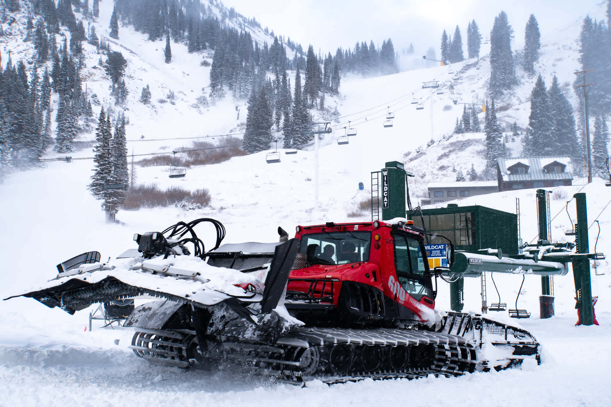
Despite the slow start to the season, Sunnyside, Collins, Wildcat, Sugarloaf and Supreme are all open. The snowcat and snowmaking crews are expanding groomed runs by the day and we’ve already enjoyed rope drops on some of Alta’s legendary terrain—Westward Ho, the High Traverse (via the Race Course bootpack), Ballroom, Baldy Shoulder, Catherine's and lower Supreme Bowl.
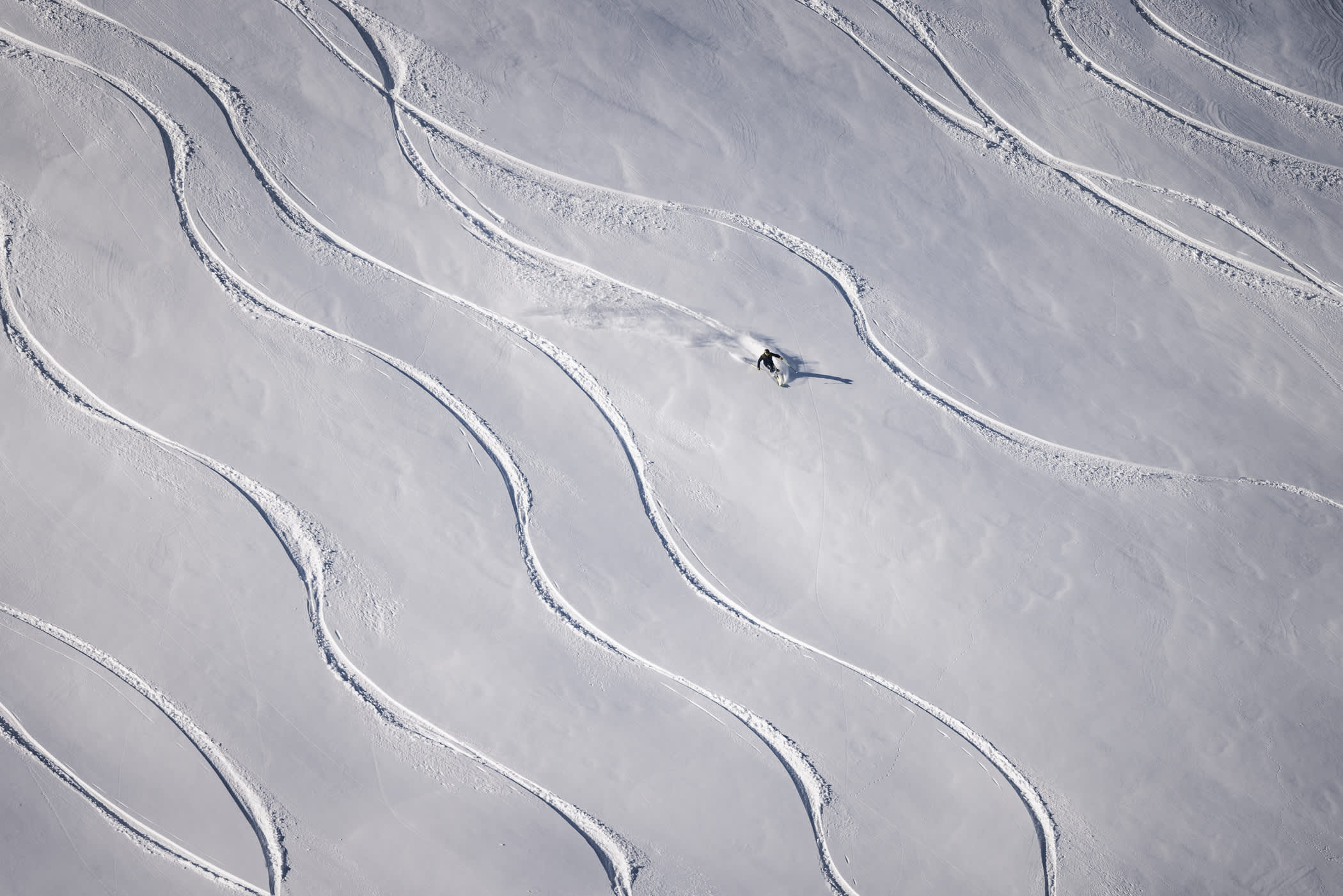
A series of storms made their way up Little Cottonwood Canyon throughout the holiday season. With all five lifts spinning and big swaths of terrain already open, it's beginning to look like a winter wonderland again.
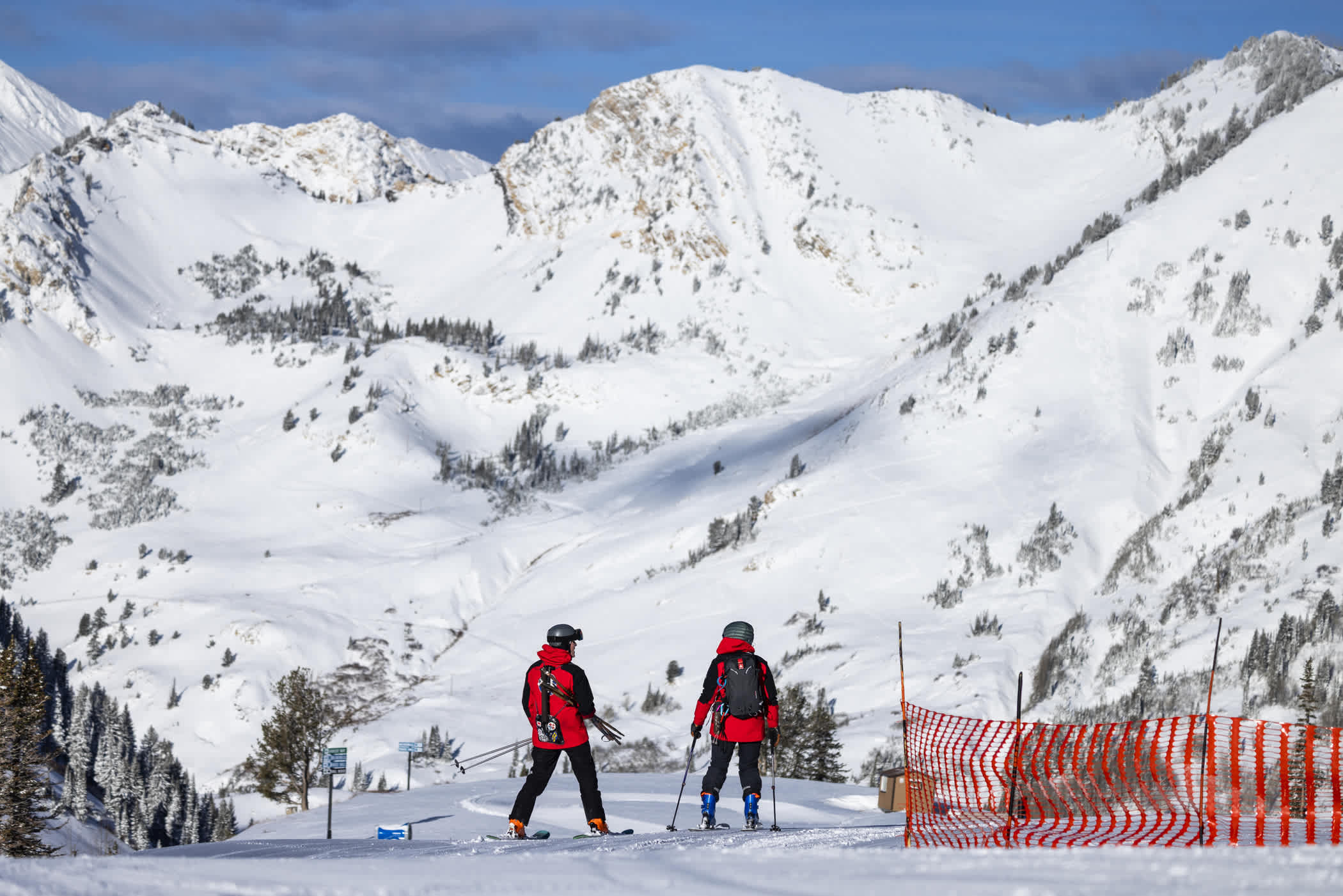
December 29th: Greeley Bowl rope drop | Photo: Rocko Menzyk
Most importantly, we are open, and we are skiing—celebrating Alta's 88th season while enjoying the one-of-a-kind feeling of sliding on snow with family and friends. And while we haven’t yet experienced many of the deep powder days that put Alta on the map, it’s only a matter of time until the flakes start stacking up and we can start putting down some powder 8s.
Tips for Enjoying the Holidays
- Slow down and take it easy—Alta Ski Patrol will be doing speed checks around the mountain
- Be kind to your fellow skiers—we’re all still trying to build up our ski legs
- Limited groomed terrain available—ski in smaller groups
- Expect low-snow conditions—hazards exist when skiing off-piste
- Only stop where you can be seen from above—look uphill before merging into a groomed run
Parking Reservations & Transportation
As we head into the holidays, parking reservations will be required Friday, December 19th, through Sunday, January 4th. We release additional week-of parking every Sunday at 3pm Mountain Time. Set a reminder.
As always, check the weather and Highway 210 conditions before you leave the house and make sure your vehicle complies with the UDOT Traction Law.
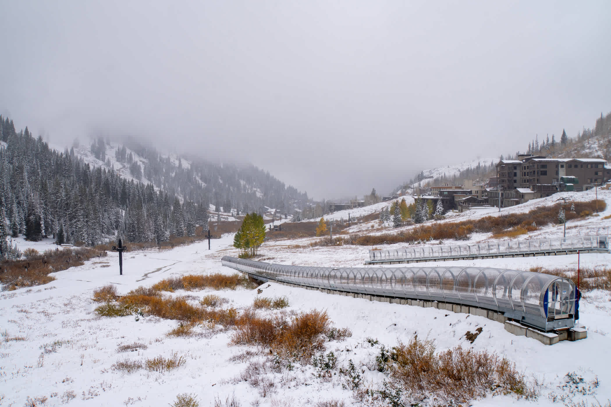
The UTA Ski Bus is now operating the 994 Route and Canyon Service Routes (CS1 & CS2) to Alta Ski Area.
Lifts, Tows & Conveyors
Four of Alta's five lifts are open daily. The newly realigned Supreme lift estimated opening is still a few days away as we wait for additional snowfall and snowmaking.
Lifts:
- Collins | 9:15am–4:30pm
- Wildcat | 9:15am–4pm
- Sunnyside | 9:15–4:30pm
- Sugarloaf | 9:15am–4pm
- Supreme | 9:15am–3:30pm
Tows & Conveyors:
- Transfer Tow | 8am–5pm
- Big Griz conveyor | 9:15am–4pm
- Snowpine lift | 9:15am–4:30pm
- Alta Lodge Tow | 9:15am–4:30pm
- Little Griz Conveyor | Ski School Only
Terrain
Groomed Runs:
With limited groomed terrain, we have increased speed enforcement in our main groomed run corridors.
- Sunnyside: Crooked Mile, Sugar Way, Sunnyside and Home Run
- Sugarloaf: Devil's Way, Devil's Elbow, Sugar Bowl, lower Roller Coaster and East Baldy Traverse
- Collins/Wildcat: Mambo, Main Street, Stimulation, Corkscrew, Meadow, Nina's and Aggie's Alley
- Supreme: Sleepy Hollow
December 11th: Ballroom and Baldy Shoulder opening | Photo: Adam Fehr
Off-Trail Areas:
Expect low-snow conditions when skiing off-trail—all areas are subject to weather-related closures:
- Ballroom and Baldy Shoulder
- Saddle Traverse and Tower Ten Traverse
- Westward Ho
- Catherine's Area and lower Supreme Bowl
- High Traverse and the High Country via the Race Course bootpack
- Greeley Bowl and Greeley Hill via the Race Course bootpack to the High Traverse
Stay tuned to our social media channels and our Lift and Terrain Status page for the latest terrain offerings and daily grooming report.
Alta 101 : Tips for Skiing Alta >
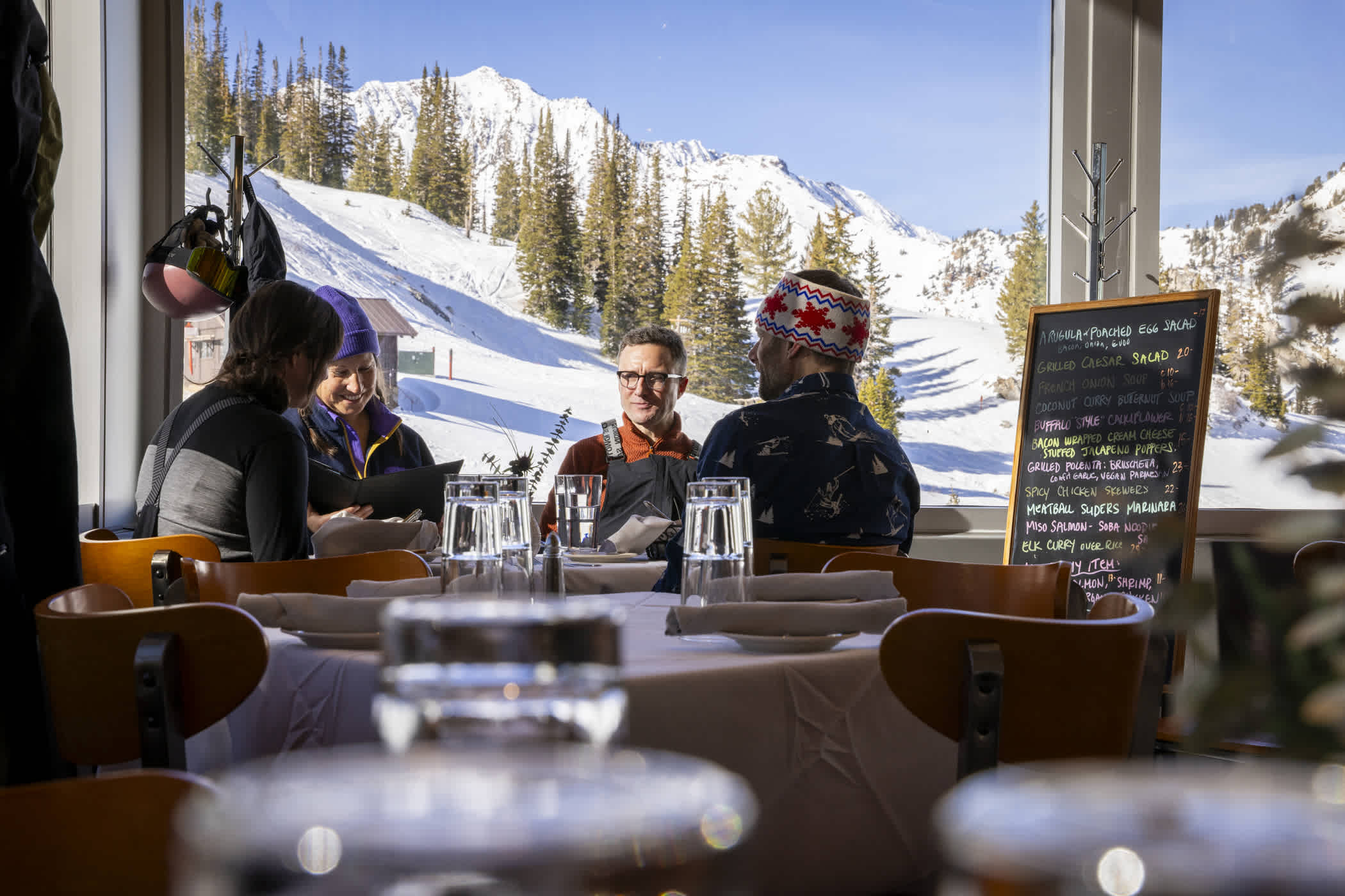
Food & Drink Offerings
December 12th: Collins Grill is open Wednesday–Sunday | Photo: Rocko Menzyk
Start your day with breakfast and coffee from Albion Grill, Baldy Brews, Cecret Coffee or Alta Java. Refuel with an on-mountain lunch—Alf's Restaurant, Albion Grill and Watson Cafe are open daily. Collins Grill is open Wednesday–Sunday—reservations are recommended.
Season-To-Date Snowfall Recap
Thanks to the hard work of our staff and a well-timed storm from Mother Nature, we’ve managed to open with 54.5 inches of season-to-date snowfall and inconsistent snowmaking temperatures.
October 2025 | 14 inches of snow—52.7% of average
Believe it or not, October 2025 was actually the wettest October on record at Salt Lake City. Snow fell early on the slopes of Alta—a little too early. Almost 10 inches of snow fell in early October, blanketing Alta in top-to-bottom snowfall. A few days of warm weather followed and the early October snow melted its way into Little Cottonwood Creek.
October 4th: First snowfall of the season | Photo: Rocko Menzyk
A series of storms mid-month delivered another 14 inches of snow and our snowmaking crews were able to test our upgraded snowmaking lines before the end of the month. Warm weather quickly followed and only a few inches of snow remained at the Collins Study Plot on November 1st—our standard for measuring October snowfall that contributes to the season-to-date snowfall numbers.
October 16th: A foot of snow in mid-October | Photo: Adam Fehr
October snowfall that contributed to the season’s base on November 1st totaled 14 inches, 53% of the 45-year October average of 26.31 inches. October water totaled 2.35 inches, 78% of the October average (3.0”).
November 2025 | 14.5 inches of snow—20.3% of average
Warm and dry weather kicked off the new month as a stubborn ridge of high pressure forced multiple storms to split on their way to the Wasatch. Snowfall either missed Utah completely or delivered meager snowfall from the scraps of storms. Unseasonably high snow levels prevented our snowmaking teams from firing up the snowguns. As we waited for the return of Old Man Winter, the decision was made to delay the start of the season from November 21st into the first week of December.
November 18th: Collins Gulch prior to our projected Opening Day | Photo: Rocko Menzyk
The delayed start to the season provided a unique opportunity to enlist our employees' help in an inaugural Winter Essentials Drive, as a way to help families in need during the holiday season—and maybe score a little goodwill with the snow gods. Working with local nonprofits, Alta skiers and community members recycled old ski gear and donated truckloads of food and winter clothing to those in need. As the final boxes of canned food were loaded up, the snow started coming down.
The final day of a dry November ushered in the return of cold air and a quick-hitting storm. The biggest storm of the month dropped 10 inches of low-density snow on the sparsely covered slopes of Alta. More importantly, our snowmaking and snowcat teams went back to work grooming corridors and building up the base areas.
November 30th: Building the base | Photo: Adam Fehr
In total, November snowfall was 14.5 inches of snow, 20.5% of the 45-year November average of 70.62 inches. November water totaled 1.41 inches, 22.8% of average (6.15”). November 2025 was the least-snowiest November in the 46-year history of the Collins Study Plot. It was also the second-driest, finishing just .06 inches of water ahead of November 2009.
December | 45.5 inches of snow—50.5% of average
Under cold temperatures and with a little fresh snow, our snowmaking and snowcat crews worked around the clock through the first few days of December. By Wednesday, December 3rd, a corridor had been groomed in Collins Gulch. Alta Ski Patrol went to work performing avalanche mitigation, setting up tower pads, signs and ropelines. The Alf Engen Ski School conducted ski evaluations for new hires. Preseason preparations that are typically completed over two weeks in mid-November were completed in two days, just as an atmospheric river took aim at the Wasatch.
Forecasts for the first weekend in December called for plenty of snow and wind—models predicting anywhere from 12 to 48 inches of snow. A storm in the one-foot range would not be enough to open the mountain. Four feet would overwhelm the fragile early-season snowpack, leading to additional delays.
The storm started on the morning of Friday, December 5th and raged through the night and into the next day. When the clouds broke Saturday evening, Alta Ski Area was blanketed in 19.5 inches of snow from nearly three inches of water. Almost twenty inches of dense snow and plenty of wind were exactly what we needed to start our season.
December 7th: Alta Ski Patrol finishing setup | Photo: Rocko Menzyk
On Sunday, December 7th, Opening Day featured top-to-bottom skiing on Collins and Sunnyside lifts—the Around-the-World corridor and Transfer Tow opened around noon. Alta skier's patience with the delayed start to the season paid off with great coverage on groomed runs and soft snow in some off-piste areas.
December 7th: Opening Day of our 88th season | Photo: Rocko Menzyk
The first week of the season brought additional lift and terrain openings. Wildcat opened on Monday, December 8th, a surprise bluebird powder day. Westard Ho and the Tower 10 Traverse opened the following day. Sugarloaf lift opened on Saturday, December 13th, followed the first Ballroom and Baldy Shoulder rope drop of the young season.
December 8th: Wildcat powder day | Photo: Tyler Struss
Following ten or so days of warm and dry weather, the first in a series of storms rolled into the Wasatch on December 17th. This fast-moving storm started as clouds and warm winds before a cold front blasted its way through Little Cottonwood Canyon. Winds increased as graupel pellets hurled themselves at the mountain. Thunder and lightning ensued—forcing Alta Ski Area to close all lifts by 3pm.
The following morning, skiers flocked to the wind-buffed slopes and four inches of graupel. Adding an inch of water to the early-season snowpack, the graupel also created a fresh canvas for Alta skiers to leave fresh tracks in the soft snow. It also allowed Alta Ski Patrol to open the High Traverse, providing access to a large chunk of terrain in the High Country—including Greeley Bowl, Eagle's Nest and Alf's High Rustler—via the Race Course bootpack.
December 18th: Tommy Flitton explores the blank canvas | Photo: Rocko Menzyk
Another three inches of dense snow fell on the final day of fall, just enough coverage to open the newly aligned Supreme lift for the first time. Catherine's opened on December 21st, the Winter Solstice.
December 20th: Supreme lift is open for the season | Photo: Photo-John
Santa stopped by Alta on Christmas Eve for a few laps before heading out for the big night. As is tradition, the snow started falling shortly after his sleigh left Little Cottonwood Canyon. Snow levels started very high, but eventually one-and-a-half inches of snow fell from over an inch of water.
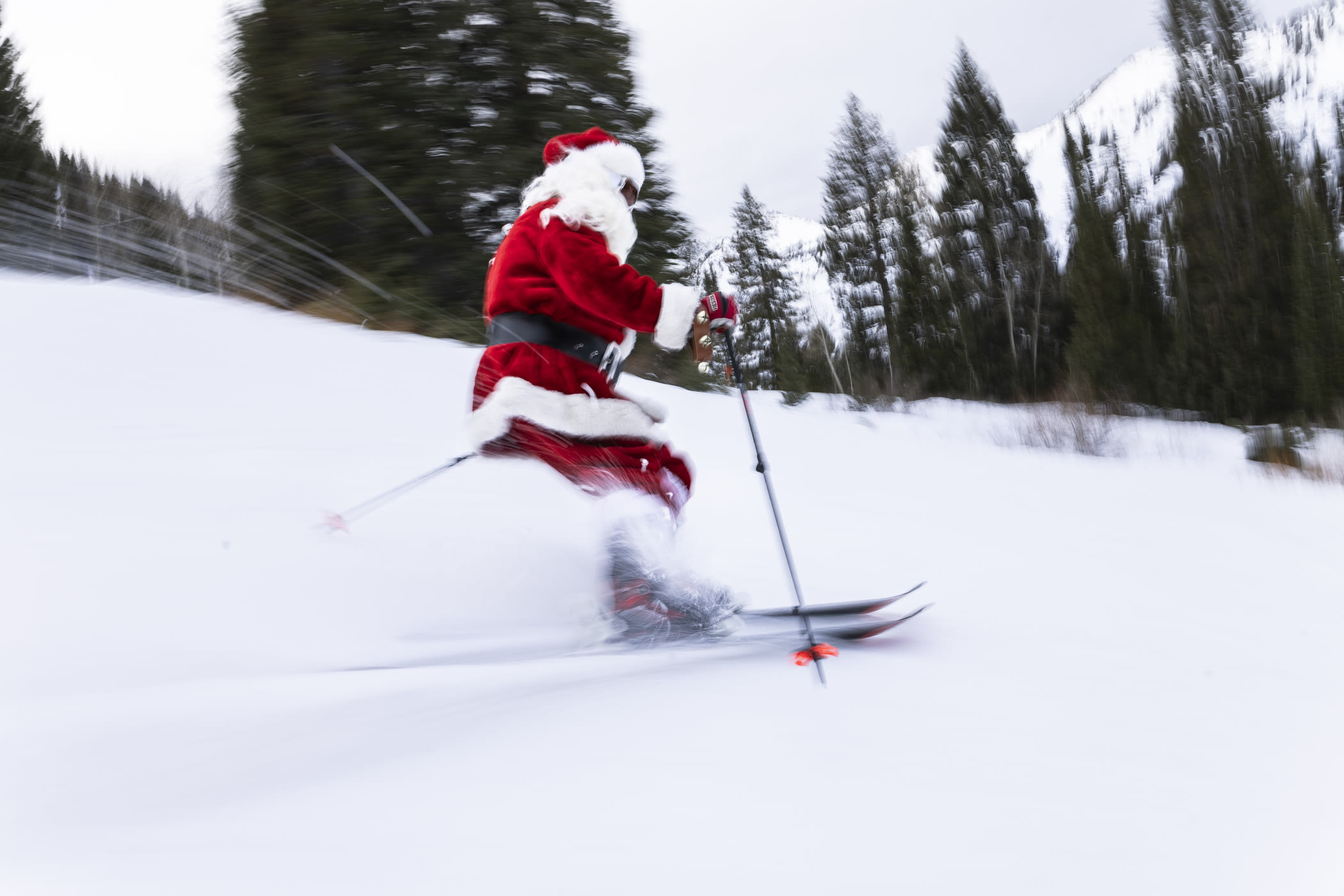
December 24th: Santa stopped by to deliver a White Christmas | Photo: Rocko Menzyk
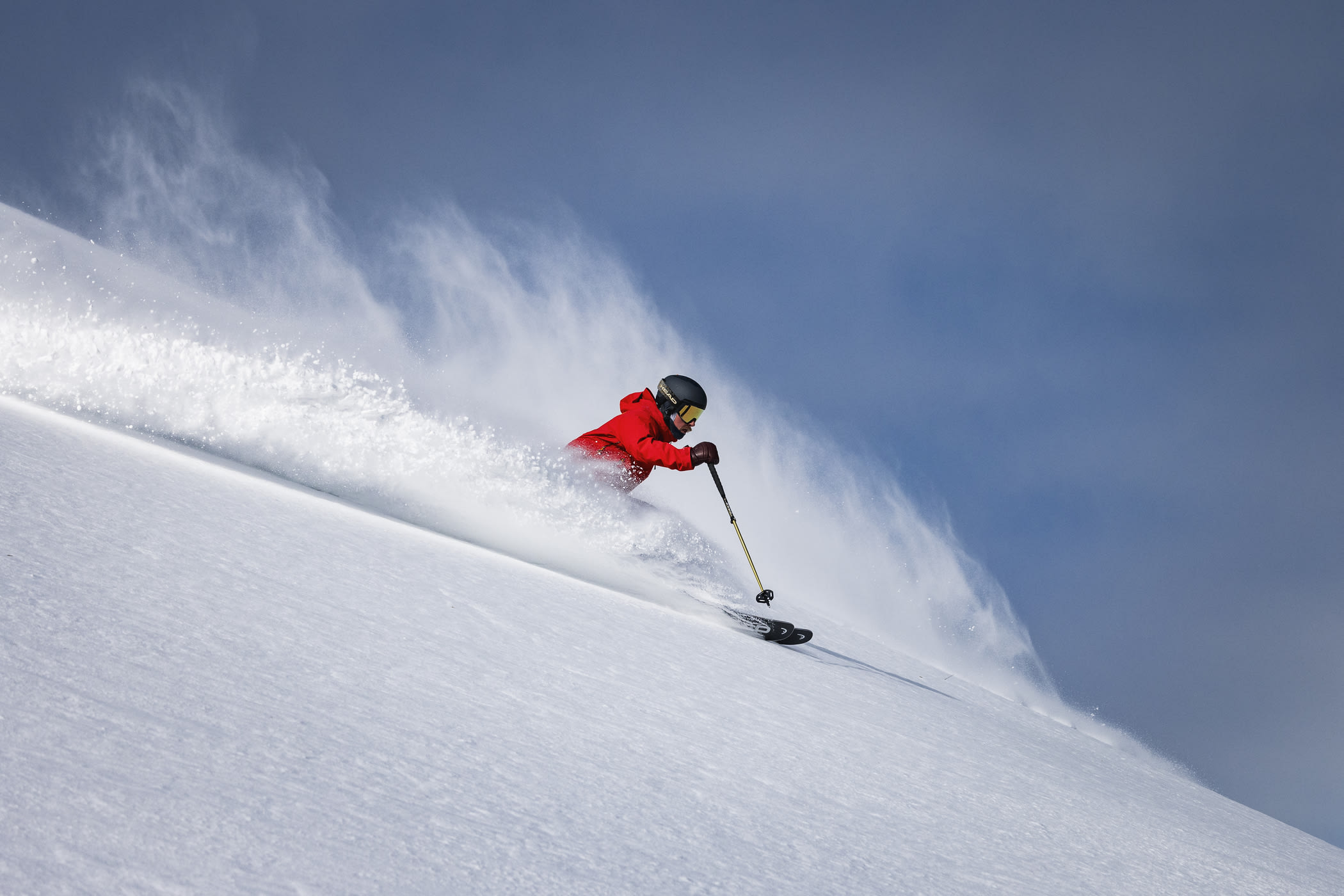
Santa's delivery of true powder snow took a couple of days to materialize as temperatures finally began to recede to winter-like levels. The final storm of 2025 began as another round of graupel before transitioning to colder powder snow.
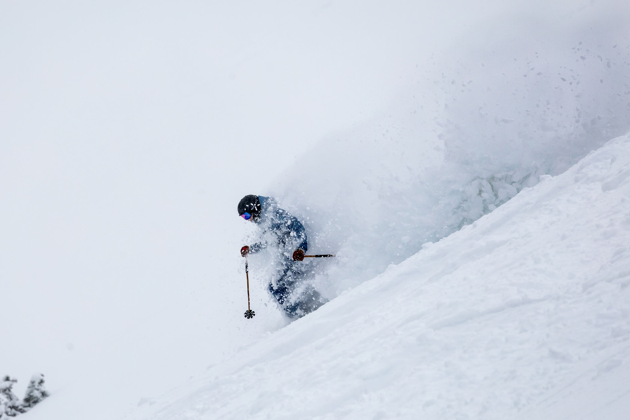
December 26th: Ian Jones skis through the storm | Photo: Photo-John
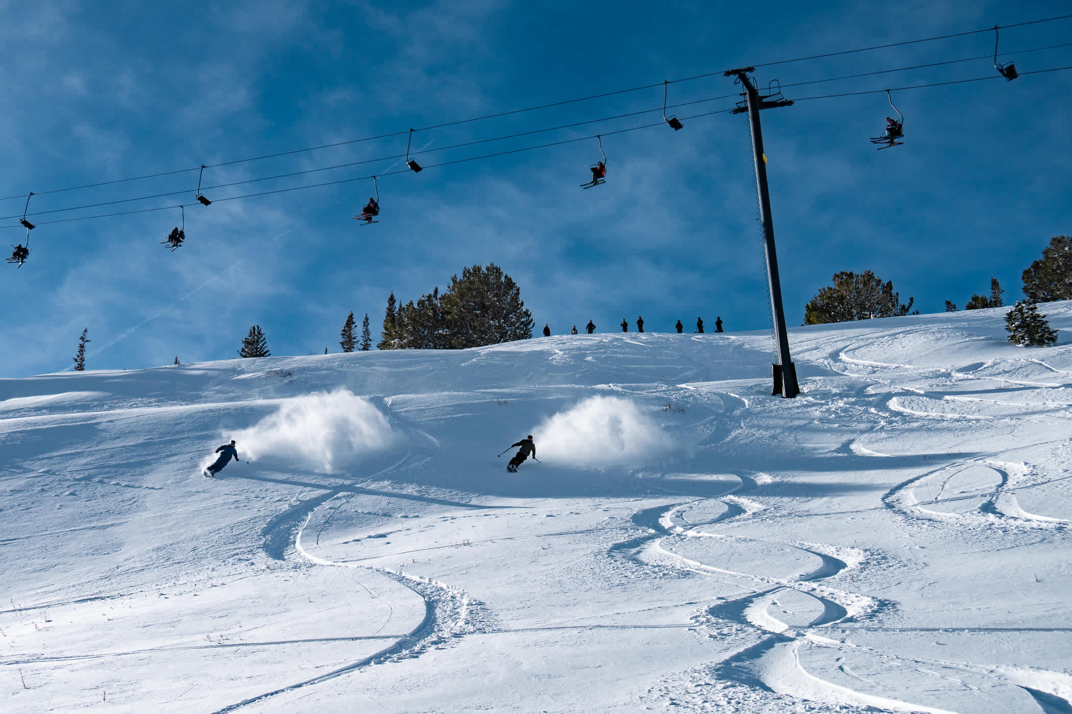
By Sunday, December 28th, 15 inches of snow had fallen and our crews went to work opening as much terrain as possible. It wasn't the bottomless blower powder that we've grown accustomed to over the past 88 years, but after a warm and weird start to the season, it was a welcome return to winter.
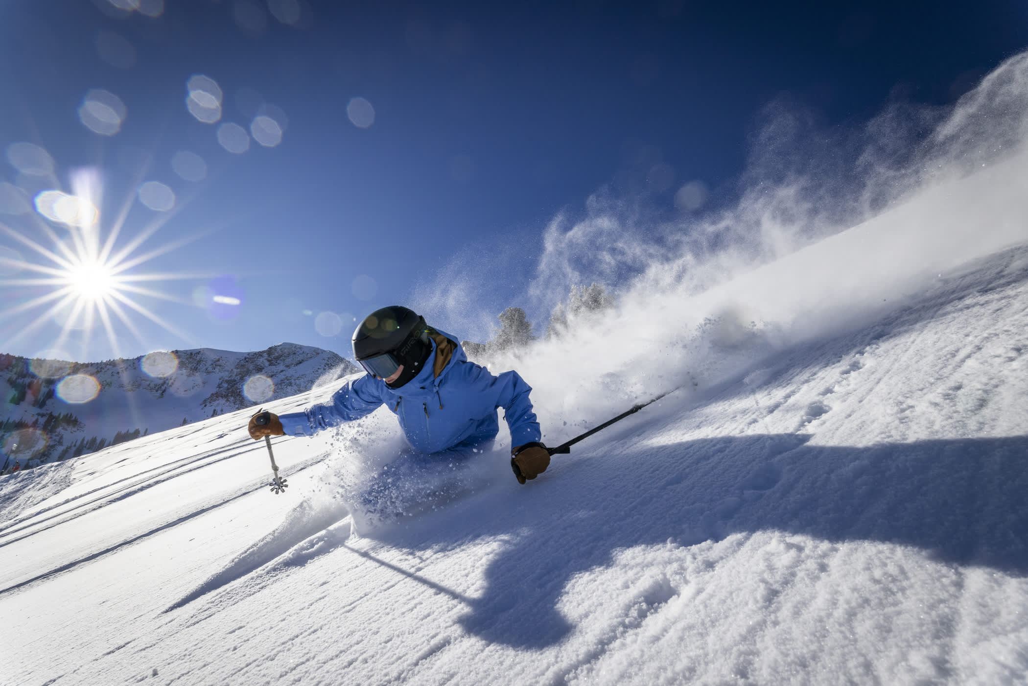
December 29th: Ana Eyssimont dives into a bluebird powder day | Photo: Rocko Menzyk
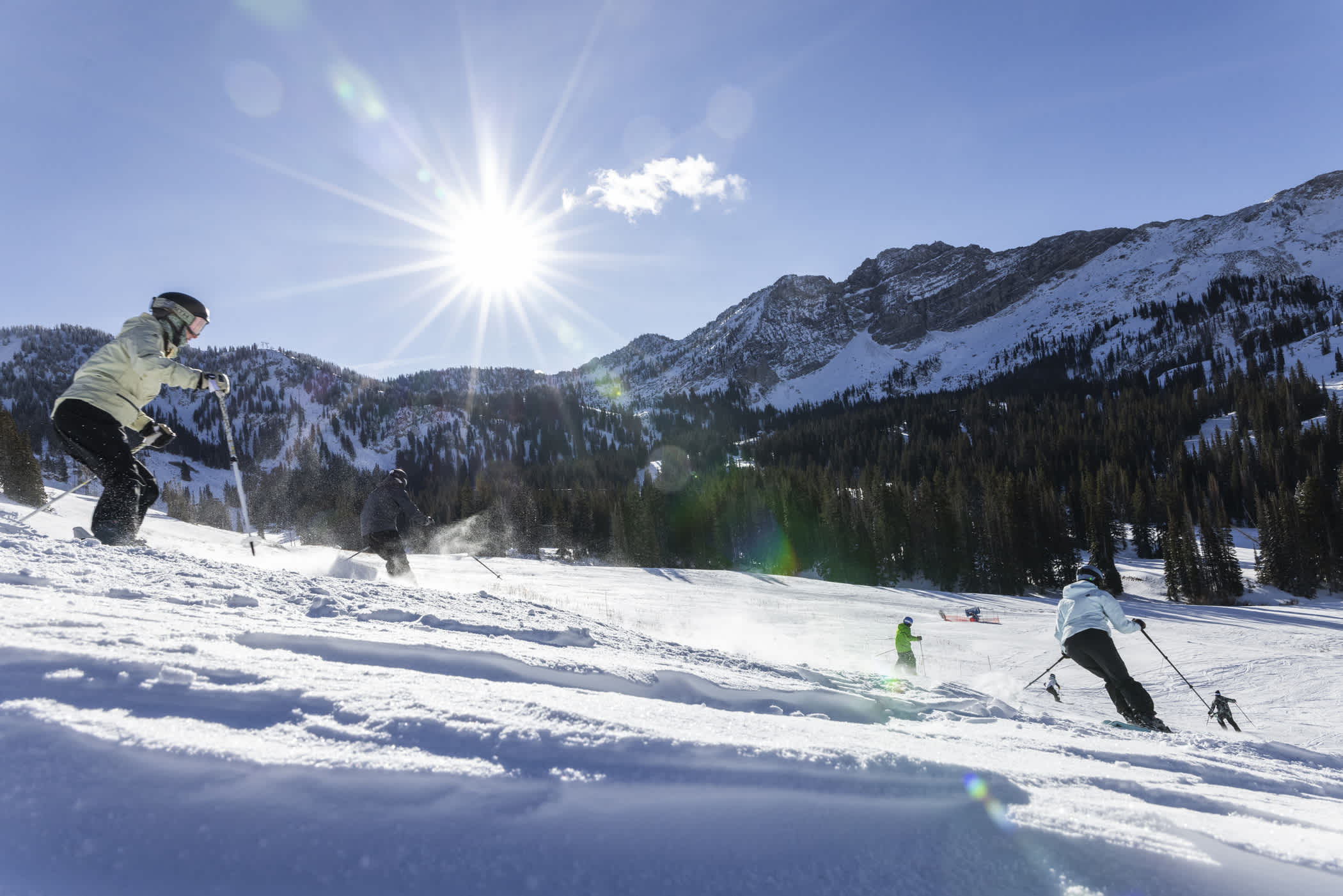
Despite the slow start to the season, the well-timed storms helped us expand our groomed terrain and off-piste skiing through the end of the month. Our snowmaking and snowcat teams worked through the nights to put down fresh corduroy for holiday skiers to enjoy gliding through the mountains with family and friends. We celebrated the end of 2025 with our annual New Year's Eve Torchlight Parade and Fireworks event—the warmer weather providing a wonderful night in the mountains.
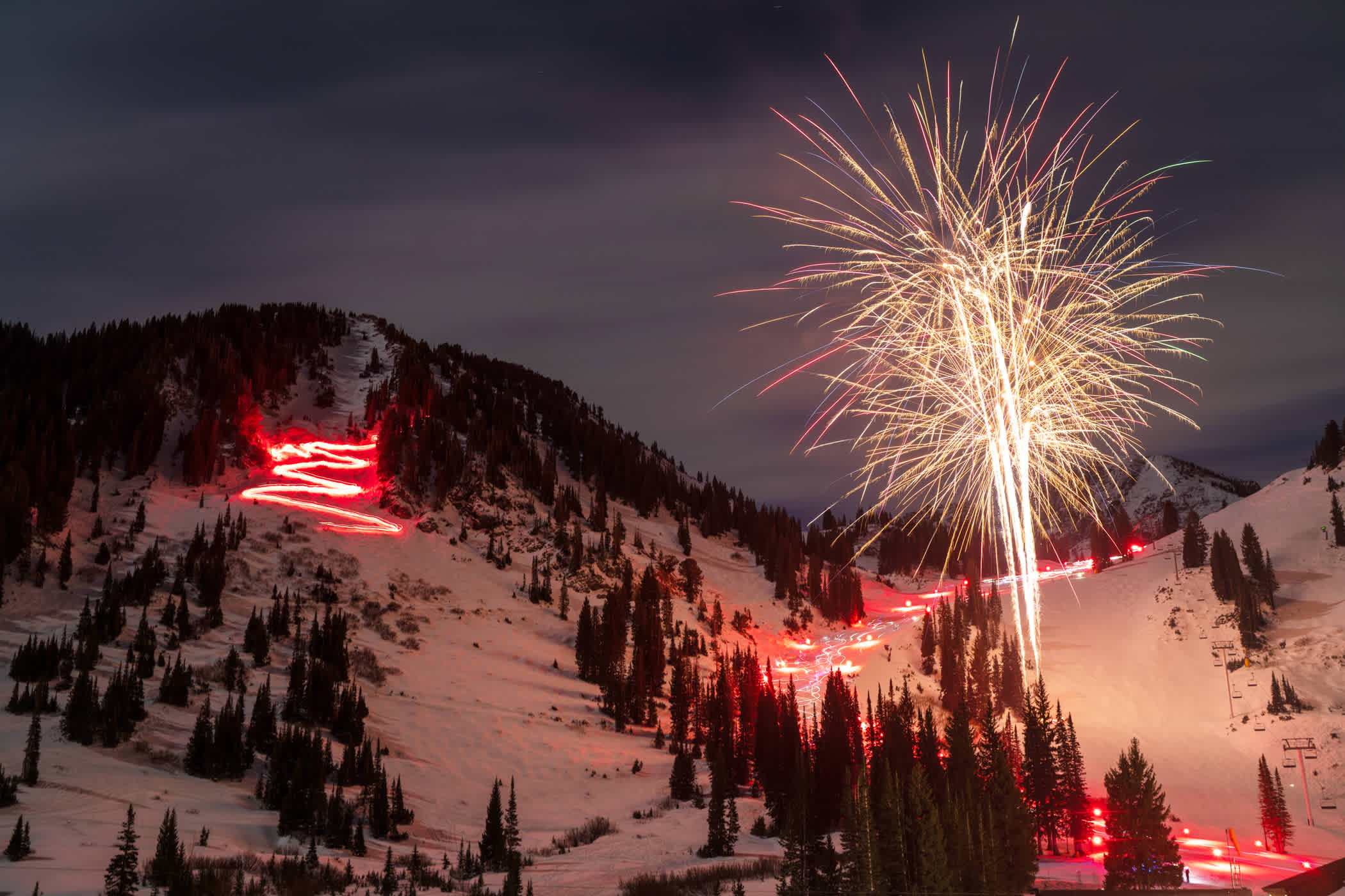
December 31st: NYE Torchlight Parade & Fireworks | Photo: Tyler Struss
In December, the Collins Study Plot recorded 45.5 inches of snow, 50.4% of the 45-year December average of 90.12 inches. December water totaled 7.21 inches, 99.6% of average (7.24").
Slow Starts through January 1st
Through January 1st, Alta Ski Area has seen 74 inches of snow from 10.97 inches of water. We saw snow in early October, only to see most of it melt. November was warm and dry as storms split before reaching the Wasatch. December delivered a few much-needed dense, base-building storms—December water was completely average, but snowfall totals were half of the average for the month.
Ten Lowest Season-to-Date Snowfall totals through January 1st since 1980:
- 1986–87: 71.5" snow (6.01" water) | Seasonal snowfall: 354.5"
- 2025–26: 74" snow (10.97" water)
- 2017–18: 81" snow (8.55" water) | Seasonal snowfall: 388"
- 1993–94: 92.5” snow (6.31” water) | Seasonal snowfall: 450.5"
- 2011–12: 96.5” snow (9.25” water) | Seasonal snowfall: 390.5”
- 1987–88: 99” snow (7.04” water) | Seasonal snowfall: 353.5”
- 1995–96: 104.5" snow (13.98" water) | Seasonal snowfall: 543.5"
- 1980–81: 105" snow (13.23" water) | Seasonal snowfall: 437"
- 1989–90: 117" snow (9.26" water) | Seasonal snowfall: 464.5"
- 2020–21: 130.5" snow (8.74" water) | Seasonal snowfall: 486.5"
The 2025–26 season is the second-least-snowiest start in the past 46 years. And those starts have translated to some of the least-snowiest seasons at the Collins Study Plot.
Ten Lowest Season-to-Date Water totals through January 1st since 1980:
- 1986–87: 6.01" water (71.5” snow) | Seasonal snowfall: 354.5"
- 1993–94: 6.31” water (92.5” snow) | Seasonal snowfall: 450.5"
- 1987–88: 7.04" water (99” snow) | Seasonal snowfall: 353.5"
- 2017–18: 8.55" water (81” snow) | Seasonal snowfall: 388"
- 2020–21: 8.74” water (130.5” snow) | Seasonal snowfall: 486.5"
- 2011–12: 9.25” water (96.5” snow) | Seasonal snowfall: 390.5”
- 1989–90: 9.26” water (117” snow) | Seasonal snowfall: 464.5”
- 2025–26: 10.97” water (74" snow)
- 1999–2000: 11.25” water (143.5" snow) | Seasonal snowfall: 508.5”
- 2015–16: 11.68" water (161.5" snow) | Seasonal snowfall: 438.5"
Looking at our season-to-date water inspires some hope. As the eighth-driest start in the past 46 years, the water content of the snow puts us in the company of the next tier of seasons, just above the historically bad years.
Silver Linings
Winter just started, and you can’t be in the midst of a bad winter when winter is just getting started. We’ve also been somewhat fortunate to have missed a few storms that delivered high snow levels and rain across much of the West. Despite the slow start, we have managed to avoid a prolonged drought, like the drought of 1976 that delayed the start of the season until January 5th, 1977.
The weather has been active, but not necessarily productive. The forecast after the New Year is calling for more action. Much like the storm that kicked off Opening Day, we just need a little help from Mother Nature so we can start celebrating our 88th winter by linking some powder 8s with family and friends.
We’re open, we’re skiing. And we’ll continue to open additional terrain as the snow starts stacking up.
Add Your Comment