Break a sweat and push some peaks this offseason.
With nearby mountains, US Forest Service Land, and a wide range of elevation-dependent temperatures and a great community of year-round outdoor enthusiasts, Salt Lake and the Wasatch Mountains are an ideal place for trail runners. Local and nationwide trail run race series, like the Wasatch Trail Series and the Discrete Cirque Series, help to build this unique community of athletes.
Julian Carr is an Alta skier (also a local entrepreneur and environmental activist) who turned his preseason ski conditioning trail runs into the Cirque Series, a six-stop race series across Utah, Colorado, Wyoming and Alaska.
“I've found that mountain running, maximum elevation gain, summiting a peak emphasis, type of "trail running"—aka red-line torture hiking—is my favorite type of off-season training. When I got way into mountain running, I've never been in better shape for ski season.”
- Julian Carr
After learning to ski at Alta as a youngster, then spending his summer hiking and scouting new lines, Julian decided to host the first-ever Cirque Series Race (previously the Peak Series).
Alta is a quiet place in the summer., which makes it a great place to explore the trails. Whether that's mountain biking, hiking or trail running, there are over 13.7 miles of trails to enjoy at Alta.
This season’s race series was canceled due to COVID-19 restrictions. The race has already been rescheduled for July 17th, 2021. Even though the temps are chilling, fall is the ideal time to get out on the trails for some preseason ski conditioning. And of yeah, it's never too early to start training for next year's Cirque Series at Alta.
Top 5 Trail Runs at Alta
While Alta has some great trail runs, the base elevation of Alta is 8,530 and the air is thin. It's not uncommon to lose your breath walking a flight of stairs, let alone running up a mountain. The phrase trail "run" is used loosely. Sometimes it looks more like trail fast-walking or even trail snacking. If you're coming from sea level, monitor yourself for altitude sickness. And make sure to stay hydrated on the trails.
Ranked from beginner to pro, from mellow to sufferfest, these five trail runs provide a great variety of terrain and plenty of stunning views. Remember to be prepared and check the weather before stepping deep into the mountains.
- Stay on designated trails and do not trample or pick wildflowers
- Yield to uphill hikers and stay in control: no one cares about your Strava stats
- Be aware of natural dangers: falling rock, thunderstorms, and wild animals are just a few examples
- You are responsible for your own rescue - the Alta Ski Patrol is not here in summer months
Download the Summer Trail Map for more trail information >
Beginner | Lower Albion Meadows and Upper Albion Meadows Loop
3.4-mile loop | 679 feet elevation gain
Starting at the Wildcat base area, head slightly uphill past the Skier Services building to the Wildcat lift. Head East under the Collins lift, towards the Albion base area. The trail will eventually lead to a clearing below the old gelande jump hill, continue east and slightly uphill. Follow the switchbacks under Sunnyside lift until reaching a knoll overlooking a waterfall. From this viewpoint, you can see the trail winding its way through Snake Pit towards the Albion Basin.
At the intersection of Snake Pit and the Albion Single Track, head uphill with Devil's Castle looming in the background as you make your way towards Alf's Restaurant and the base terminal of Sugarloaf lift.
Upon reaching Alf's Restaurant, turn around head downhill via the Upper Albion Meadows Trail. Stay on the trail all the way back to the Albion base area. Make your way back to the Wildcat base area by running alongside the Transfer Tow. Keep an eye out for wildlife and wildflowers along Little Cottonwood Creek.
Intermediate | Catherine’s Pass Out & Back
3.2 miles (5.5 miles from Albion base area) | 800 elevation gain (1,600 from Albion base area)
The Catherine's Pass trail starts from the Catherine's Pass trailhead. You can access the trailhead via the Summer Road after paying a $10 amenity fee at the US Forest Service fee booth, or by parking at the Albion base area and hiking the Upper Albion Meadows trail (this will add one mile and 800 vertical feet of elevation gain).

The trail gradually climbs past the top terminals of Sunnyside and Albion lifts, then traverses a cliff band overlooking the Albion Basin Campground and several cabins in the Supreme area. After crossing a small hiking bridge, the trail winds away from the views of Devil's Castle into a steep, wooded section of the trail. The trail flattens out a little as you travel alongside a meadow filled with wildflowers and wildlife.
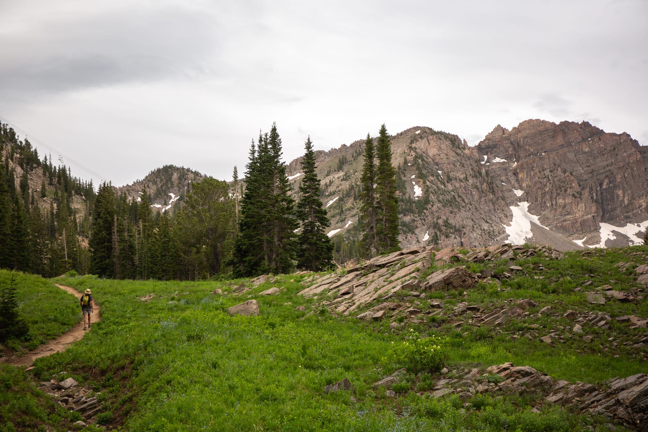
The last section of the trail is a steeper series of switchbacks leading to Catherine's Pass, between Mount Tuscarora and Sunset Peak. Looking into Big Cottonwood Canyon, you can see Lake Catherine, Lake Mary, Lake Martha and Brighton Ski Resort. At this point, you can descend to the Brighton Lakes, or turn around and run back to the trailhead.
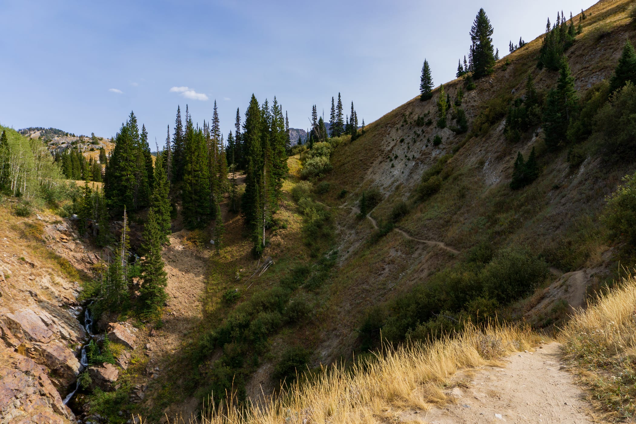
Advanced | Grizzly Gulch to Michigan City to Twin Lakes Pass Out & Back
3.6 miles total | 1,350 feet elevation gain
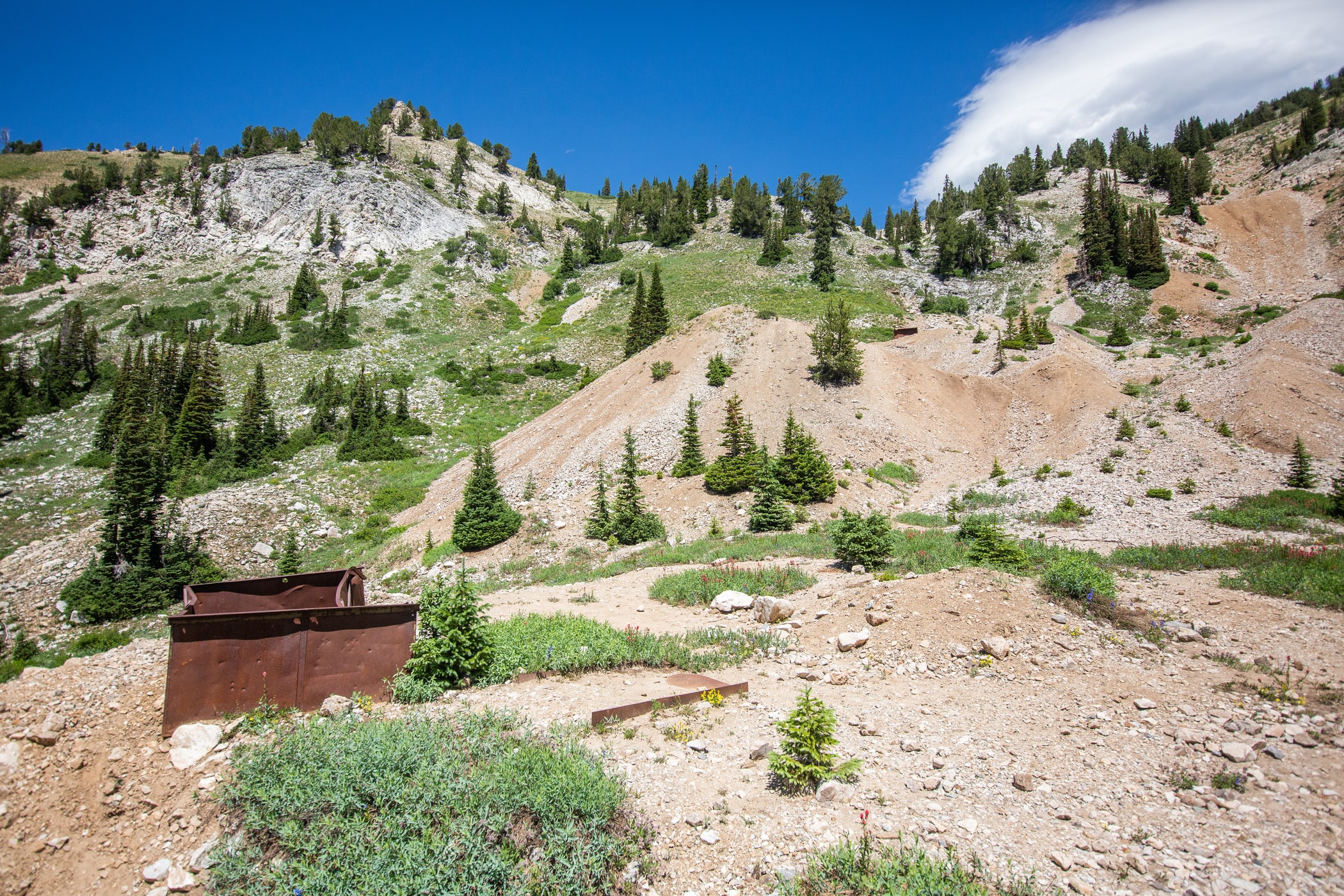
Access on the north side of Highway 210, across from the Snowpine Lodge. This trail is a steep climb into Grizzly Gulch, past the historic sites of Chad's Gap and the old Michigan City Mine. Keep an eye out for old mining relics and mine tailings as you make your way uphill.
 Above Michigan City, the trail splits. From here you can head west towards Davenport Hill or the Prince of Whales Mine. The shorter route continues uphill through Grizzly Gulch to Twin Lakes Pass at the saddle of Patsy Marly and Honeycomb Cliffs. From this point, you can look into the Brighton and Solitude resorts of Big Cottonwood Canyon.
From the top of Twin Lakes Pass, turn around and head back down to the Town of Alta parking area. Make sure not to miss the last uphill back to the trailhead.
Expert | THE WASATCH TRAIL RUN SERIES Loop
6.4-mile loop | 1,400 feet elevation gain
Starting at the Albion Day Lodge Base, climb up the Upper Albion Meadows trail to Alf's Restaurant. Leaving Alf's and following the service road to the Cecret Lake Campground. The next section includes the very popular Cecret Lake trail. Make sure to yield to other hikers that typically move a little slower than trail runners.

Once reaching (not-so) Cecret Lake, head to the service roads under Sugarloaf lift. A winding double-track will lead you under Glory Hole and across the Backside. After descending a couple of steep switchbacks, the trail makes its way back down to Alf's. Catch the Upper Albion Meadows trail down through Albion Basin.

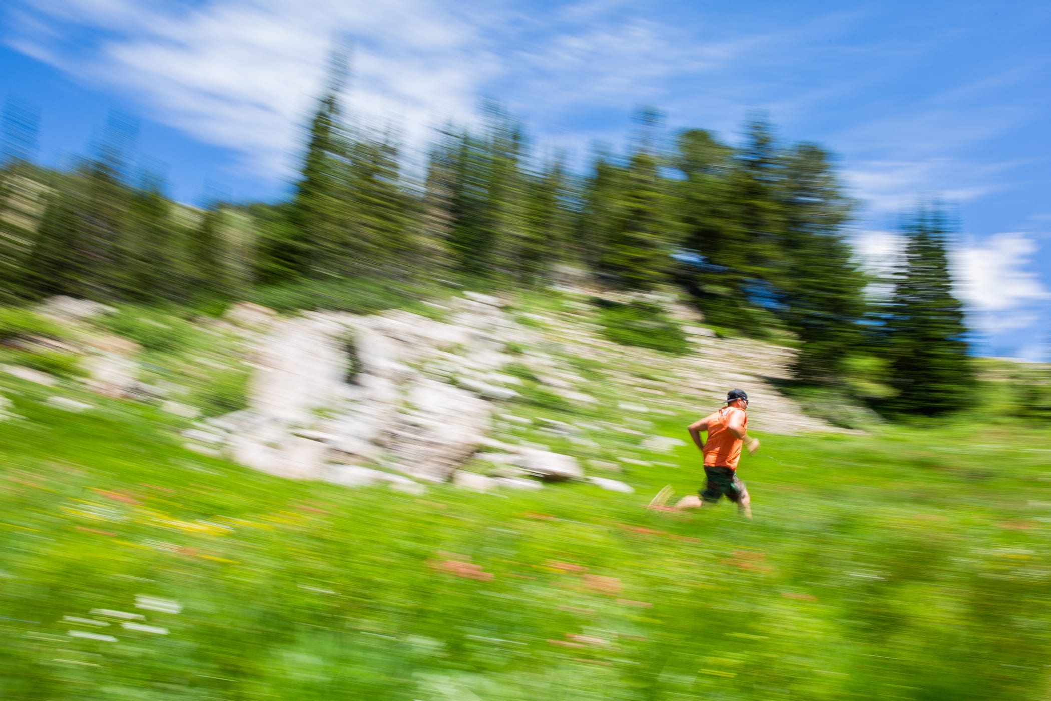
This route winds under the Sunnyside lift and finishes back at the Albion Day Lodge. (Apologies, this photos is pretty lame compared to the rest, but it gets the point across). This is a great trail with a ton of possible variations to extend or shorten your run. Get out there and learn the route, then enter next summer's Wasatch Trail Run Series.
Learn more about the course and the Wasatch Trail Run Series >
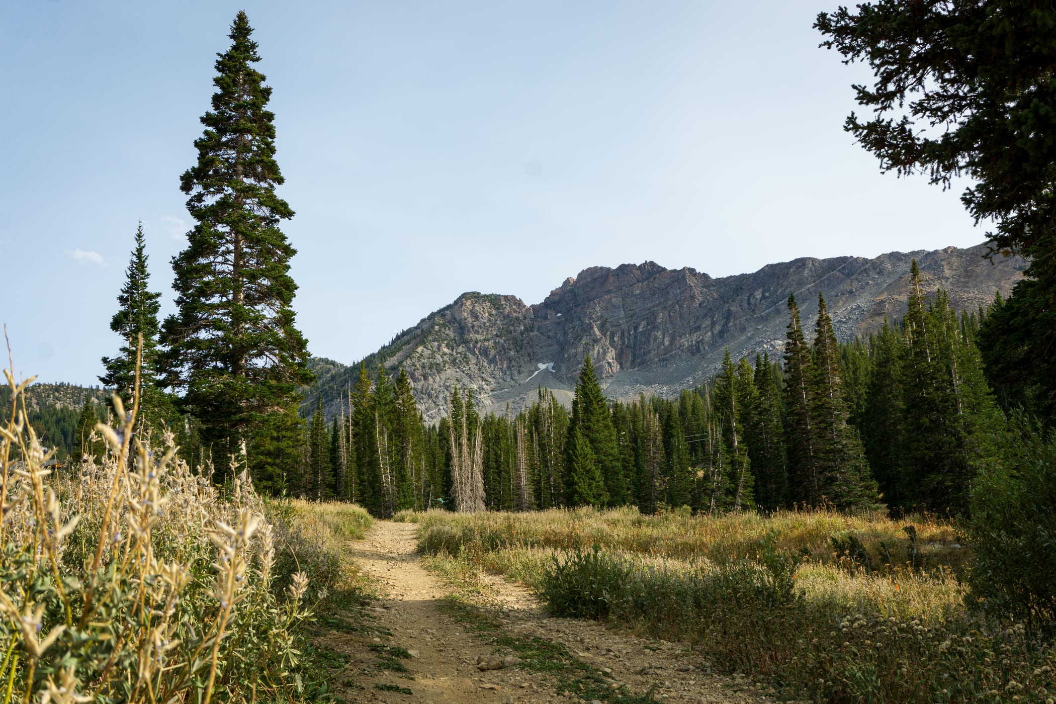
Pro - The Cirque Series Alta Course
7.1-mile loop | 2,545 feet elevation gain
Clockwise course direction, race starts at the base of Goldminer's Daughter (elevation 8650 ft.), continue on service road along the Transfer Tow, east up the Albion Meadows Trail. Immediately you start gaining elevation as you run through a forest of subalpine fir, Engelmann spruce, and aspen trees. The steep single track switches back at an old ski lift chair mounted on a pedestal with a view of the creek in Snake Pit on your right.
No time to rest here you still have 7 miles to go. Continue up the Albion Meadows Trail as you exit the forest and enter the Albion Meadows with a view of Devils Castle straight ahead. Don’t get lost in the wildflowers or you will miss the narrow single track with a sharp right that takes you to Alf’s mid-mountain restaurant (elevation 9200 ft.) Turn right at Alf’s and follow the road under the Sugarloaf lift line and continue climbing up this road that zig-zags East Greeley. Pass under Yellow Trail and you have a short flat stretch below Glory Hole before you climb up onto the Wide Track underneath the Sugarloaf lift line. You will have a great view of Cecret Lake below you but turn right and keep climbing.

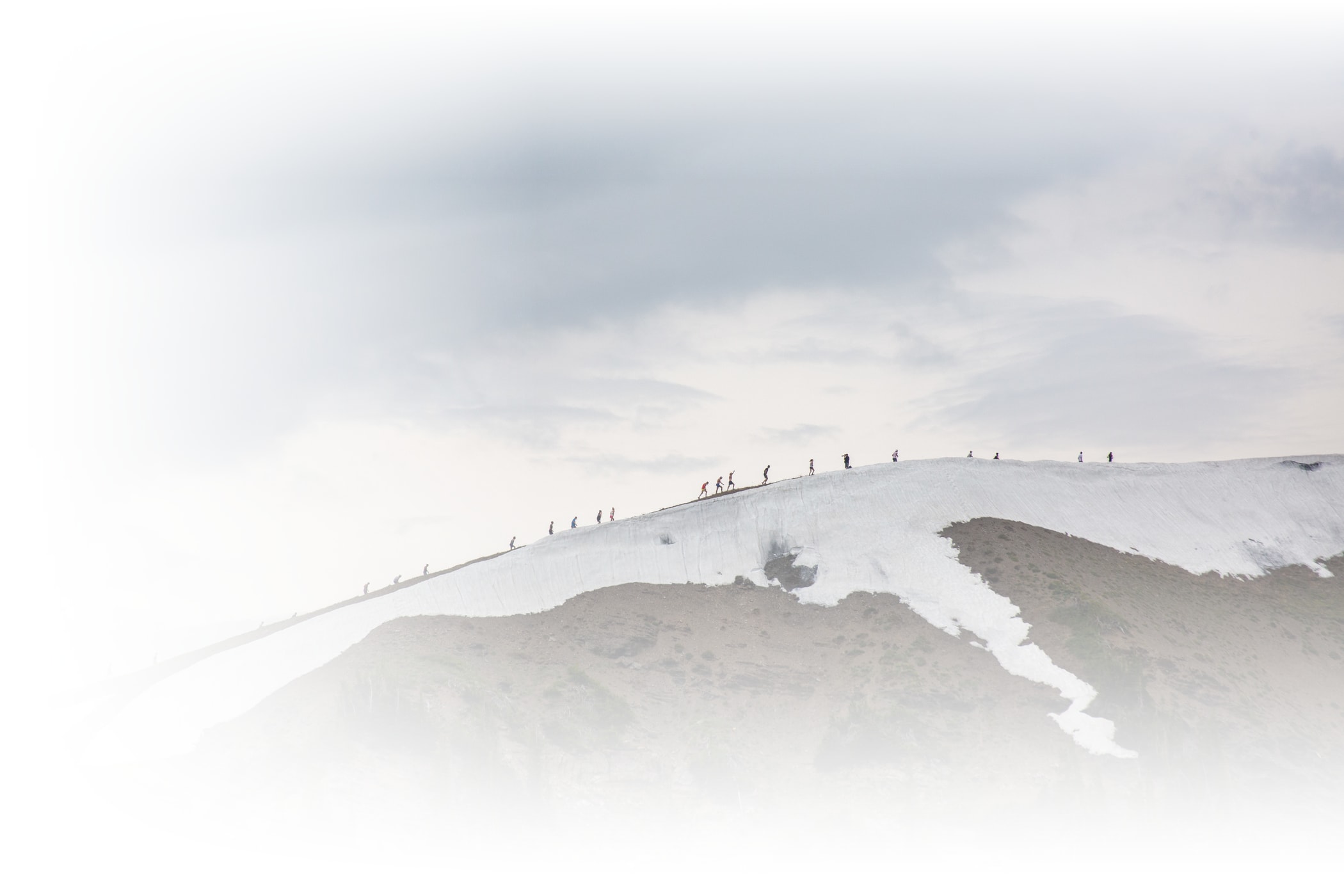
This road is very steep and will flatten out as you turn right and run through the Keyhole and take you up through a high alpine meadow with a meandering stream. Continue bearing right to the top of Collins (elevation 10400 ft.) There will be an aid station here. Go south across the East Baldy Traverse towards Sugarloaf Pass (elevation 10500 ft.) turn west and head up the ridge to the top of Mt. Baldy (elevation 11,068 ft.)

There will be a section w loose rocks, very steep, you will use your hands to ascend. Take in the views of Baldy summit, then head down the northwest ridge of Mt. Baldy, this area will be snowy, we ask you use extreme caution.

Make your way to the top of Wildcat Lift (elevation 9780 ft.) From here turn right onto the service road and stay on it all the way past Watson Shelter (elevation 9280 ft.), there will be another aid station here. Please stay on service road all the way to the bottom of Collins Lift (elevation 8530 ft.) Continue to the finish where you started.
Add Your Comment