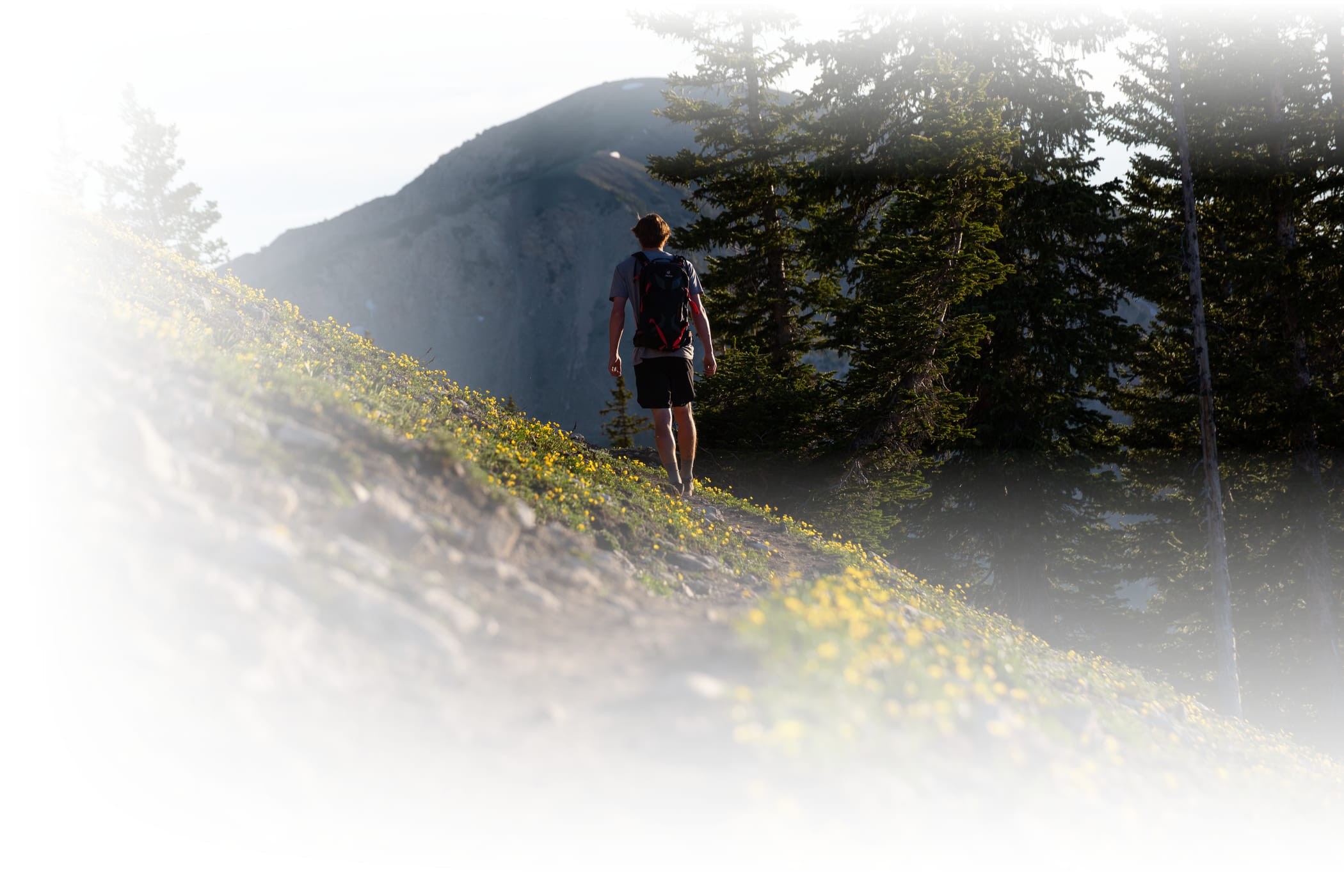
Summer in Alta is an invitation to slow down, reconnect with nature and explore the mountains on foot. Wander through wildflower-filled meadows, follow creeks to hidden waterfalls and hike to breathtaking alpine viewpoints. From easy strolls to high-country adventures, there's a trail for every pace and every kind of explorer.
A great day on the trail starts with knowing where you're going. With hiking options for every ability and multiple places to begin your adventure, choosing the right trailhead can make all the difference. Free parking is available at the Wildcat and Albion base areas and the Town of Alta—while paid parking is offered along the Summer Road into Albion Basin. Use this guide to navigate Alta's trail network and find the perfect starting point for your next adventure.
Need help deciding where to hike? Check out our three most underrated trails >
Hiking from the Summer Road
If you choose to take the scenic drive up the Summer Road, you have two options for starting your adventure: the Catherine's Pass Lot and the Cecret Lake Lot. While these trailheads are just a short distance apart and provide easy access to many of the same trails—including Albion Meadows, Supreme Point and Devils Castle Loop—each has its own unique character and hiking opportunities.
Catherine's Pass Trailhead
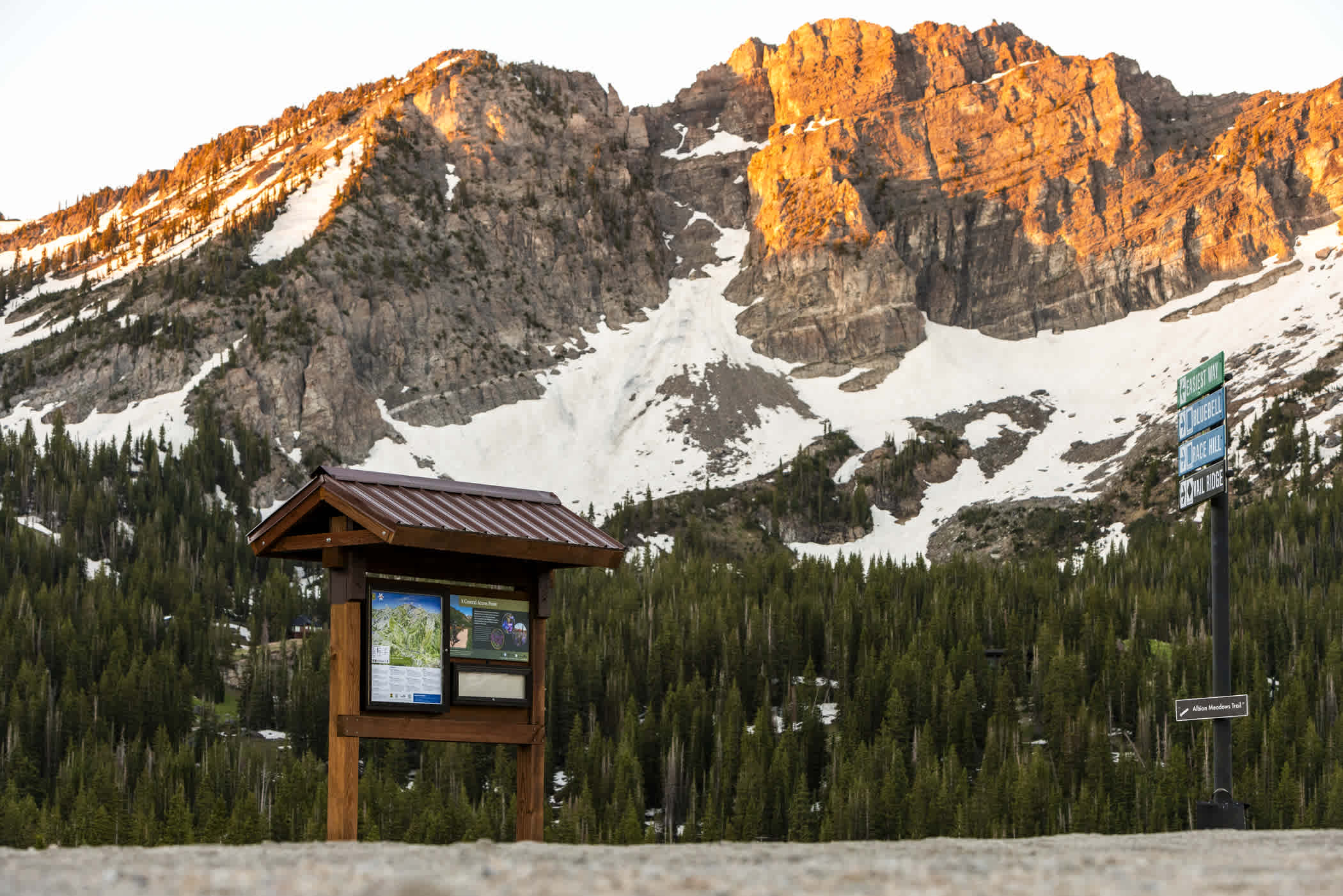
Once you arrive at the Catherine's Pass Trailhead—whether by foot or via the Summer Road—you'll find yourself in the heart of Alta's wildflowers. From here, you can head directly into Albion Meadows to immerse yourself in this one-of-a-kind ecosystem, or take the high road to Catherine's Pass for breathtaking views overlooking Albion Basin. Catherine's Pass Trailhead also provides easy access to the Cecret Lake Trail via the Cecret Lake Connector—making it the perfect starting point for several of Alta's most iconic summer hikes. This area can be accessed by foot or by paid parking via the Summer Road.
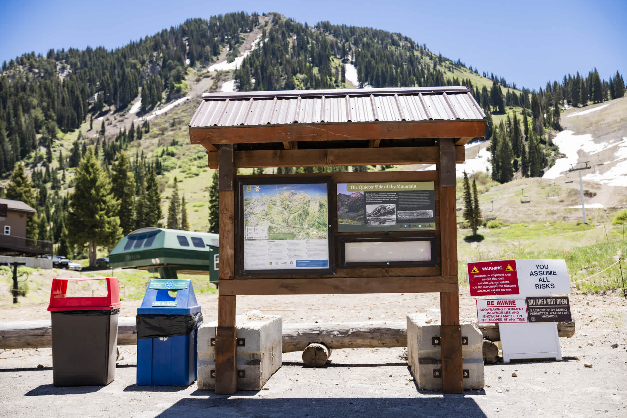
Trailhead Amenities: Summer trail map & information kiosk and public restrooms
Cecret Lake Trailhead
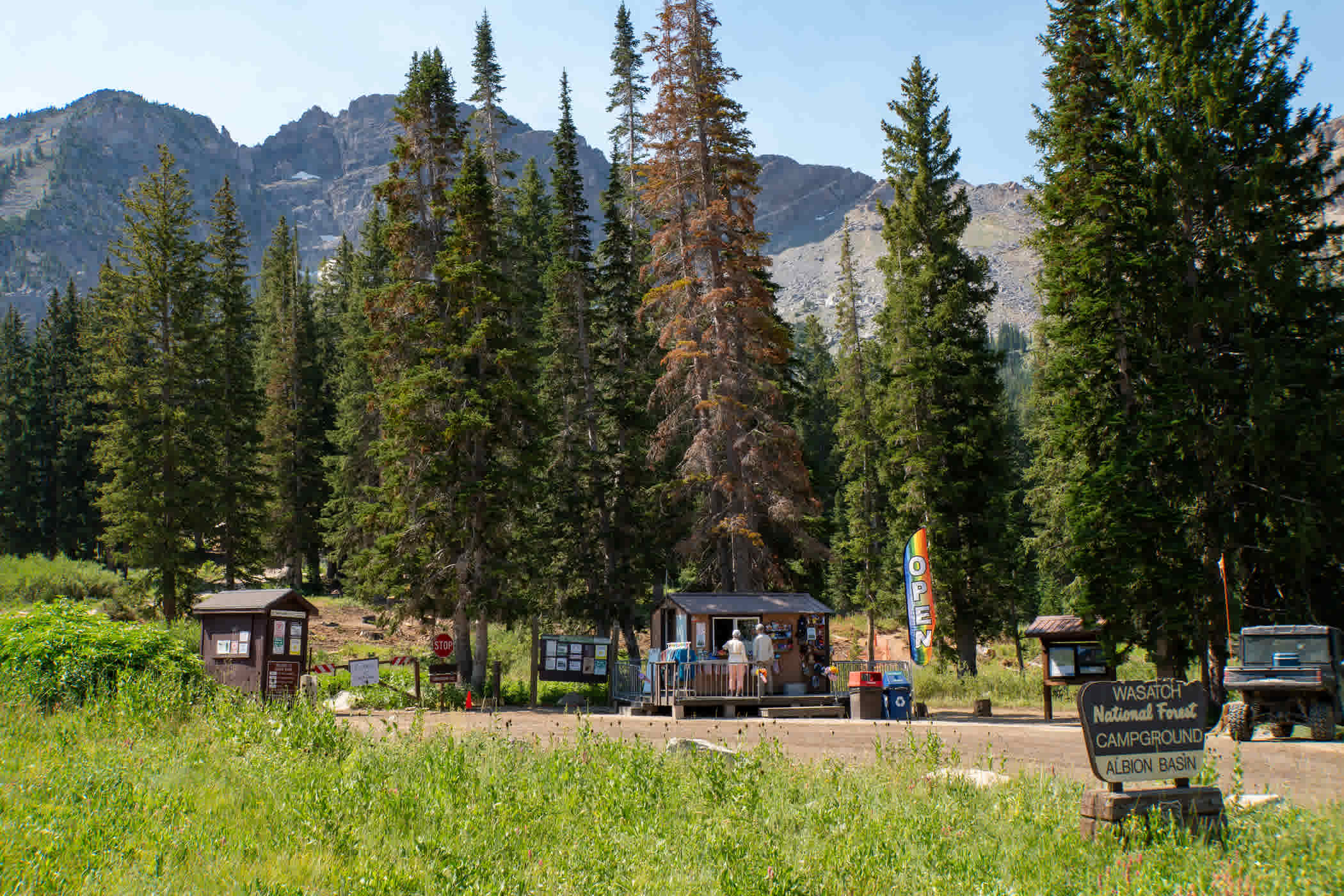
Another iconic stop along the Summer Road is the Cecret Lake Lot. From here, you can head directly onto one of the Wasatch's most beloved hikes to a stunning high-alpine lake. If you're looking for a quieter adventure, the Devils Castle Loop begins here as well—leading hikers through vibrant wildflower meadows beneath the cliffs of Devils Castle. This area can be accessed by foot or by paid parking via the Summer Road.
Trailhead Amenities: Summer Trail Map kiosk, Alta Camp Store, public restrooms and picnic tables
Hiking from the Albion base area
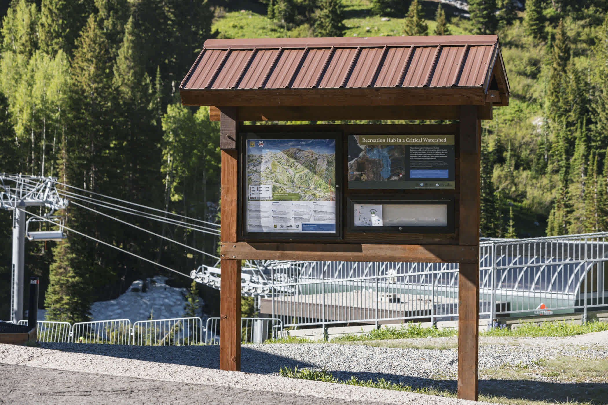
The Albion base area is a great place to start, with free parking and hiking options for every ability. For those looking to make their way towards Albion Basin or Cecret Lake, follow Snake Pit along the creek for views of wildflowers and waterfalls, or take Upper Albion Meadows through shady forests. Looking for a bigger challenge? Continue on to East Greeley for even more alpine adventure and sweeping mountain views.
If a more relaxed outing is your style, head west along the TransferTow and begin your mellow journey on Lower Albion Meadows, an easy stroll toward the Wildcat base area through wildflower meadows and historic sites.
Trailhead Amenities: Free parking, Summer Trail Map kiosk, public restrooms and water
Hiking from the Wildcat base area
The Wildcat base area is a great starting point for mellow adventures—and a few extremists—with two main trail options.
For those looking for a challenge, the Collins Gulch climbs 2,000 vertical feet over 2.6 miles and is best suited for advanced hikers. If you're after a more relaxed outing, Lower Albion Meadows is a family-friendly one-mile loop featuring vibrant wildflowers, a gentle creek and interpretive signs highlighting the area's ecology, geology, watershed and natural resources. If you reach the end and decide you want a little more adventure, continue onto Snake Pit and follow the waterfall another 0.7 miles into Albion Basin.
Trailhead Amenities: Free parking, Skier Services, Summer Trail Map kiosk, public restrooms and water
Hiking from the TOWN OF ALTA
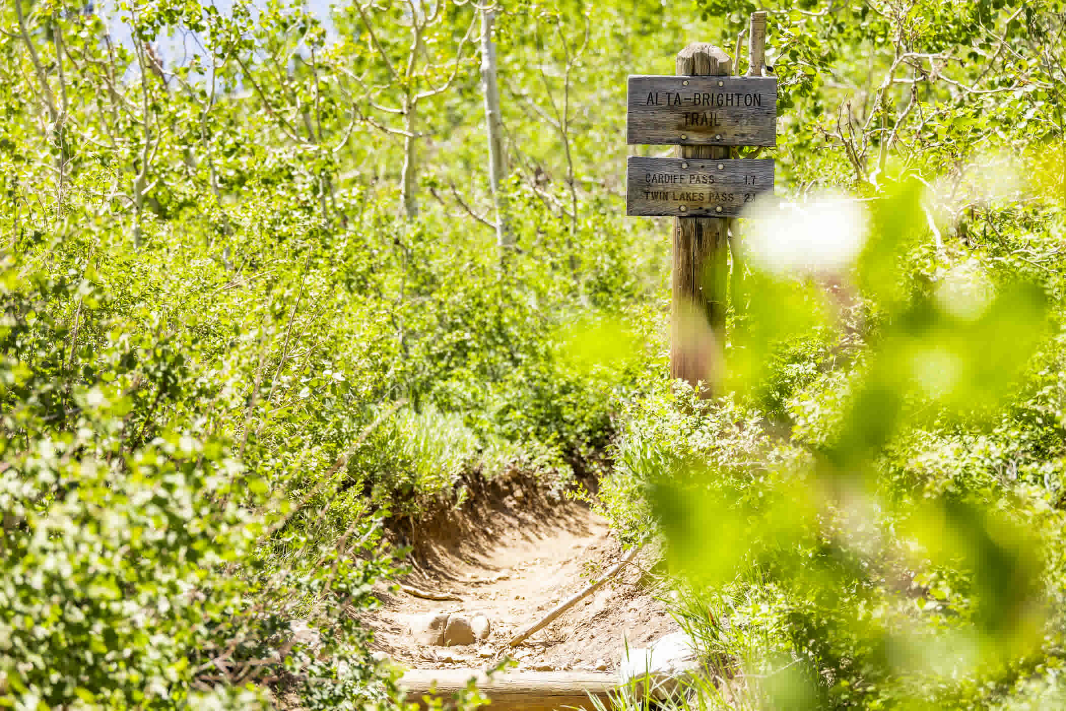
The Town of Alta is the starting point for intermediate and advanced hikers looking to explore beyond Albion Basin. From here, you can access Twin Lakes Pass—an adventurous 2.8 mile climb featuring early-season wildflowers, mining relics and sweeping views of the Wasatch, as well as connections to Davenport Hill and Big Cottonwood Canyon.
Trailhead Amenities: Free Parking
RECREATE RESPONSIBLY
We are all stewards of these lands and it is each hiker's responsibility to stay on designated trails and leave the flowers for the bees and pollinators. Little Cottonwood Canyon is a protected watershed—providing up to 15% of Salt Lake City's culinary water. Although most of the land in Alta is public land and part of the Uinta-Wasatch-Cache National Forest, many parcels of private land exist within the National Forest. Please respect the rights of private landowners and stay on designated roads and trails. Note that the use of motorized vehicles on trails is prohibited.
As you hike, please consider the following:
- Stay on designated trails and roads—cutting switchbacks leads to erosion and loss of wildflowers
- Remain on designated trails even when taking photos
- Leave no trace—carry out everything that you bring in
- Refrain from picking wildflowers or damaging plant life
- Do not disturb the wildlife—for your own safety and the safety of others
- Respect the watershed—no swimming or wading in Alta's alpine lakes and streams
- Dogs are not allowed in Little Cottonwood Canyon—not even in your vehicle
Pro tip: Weather conditions can change rapidly in the mountains. Be prepared and pack extra layers for you and your family.